Risking red rock fatigue, we left our Moab playland and cut southwest across Utah to see the rest of Utah’s “Big 5” national parks. The good folks in Torrey, UT, welcomed us to Thousand Lakes RV Park, served us food of varying quality, and even took a stab at cutting/coloring M’s hair (it looks good!).
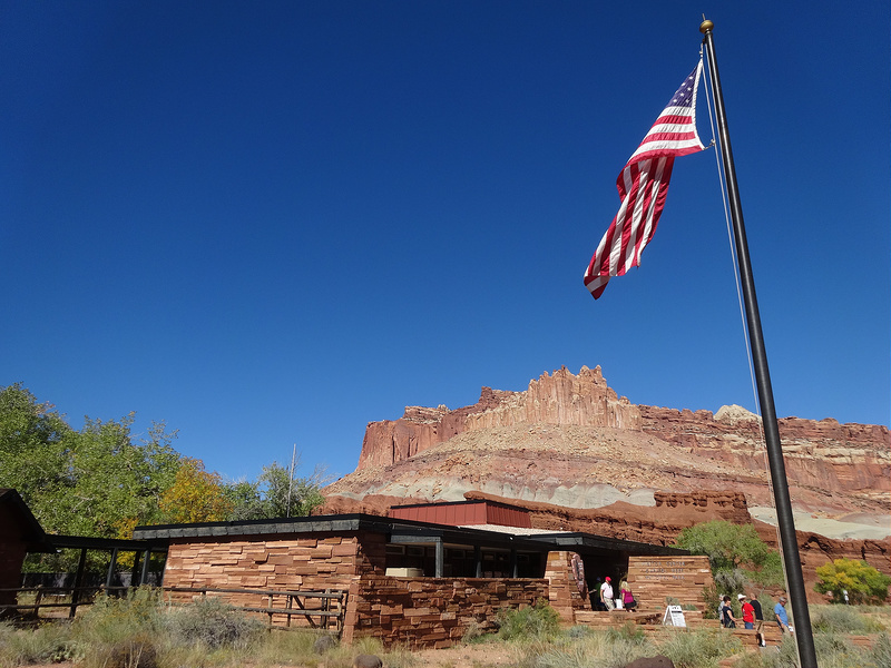
While there, we toured Capitol Reef National Park.
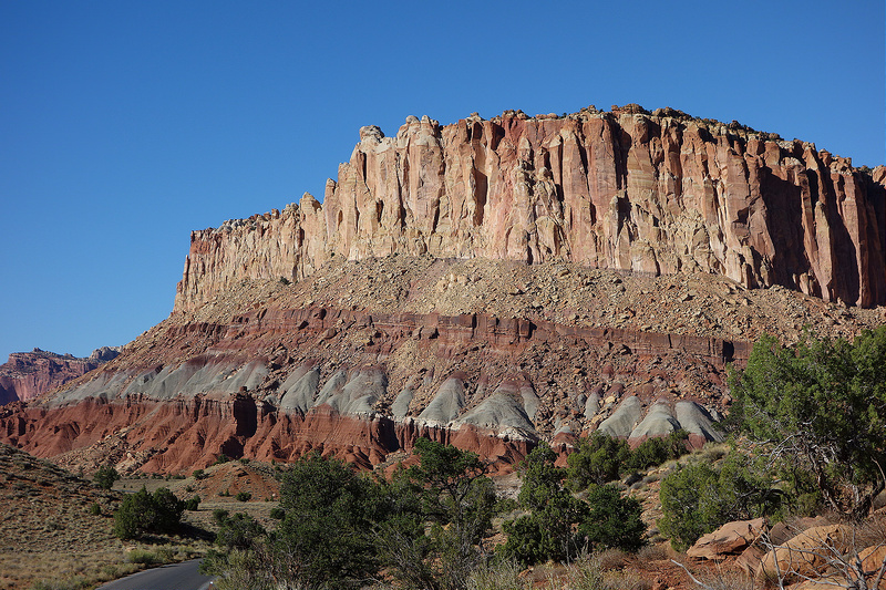
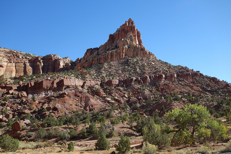
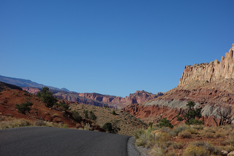
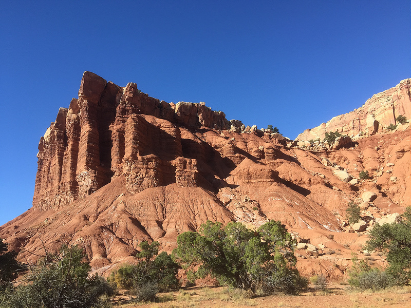
The least well-known of the Big 5, Capitol Reef protects a geological feature called the Waterpocket Fold. The National Park Service describes the Waterpocket Fold as a “classic monocline.” That clears things up. For us less geologically inclined folks, the Waterpocket Fold is a 100 mile long buckle, or fold, in the earth’s crust. For those who don’t even care to know that much, it is a pretty rock feature.
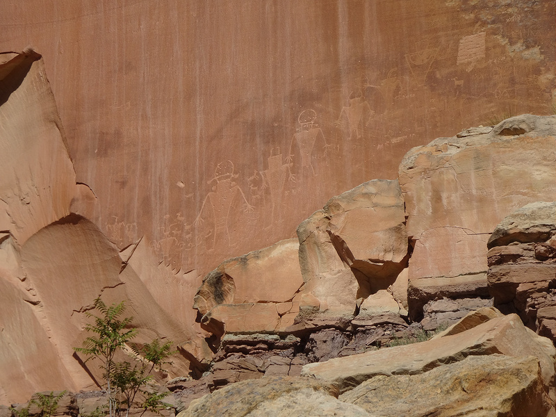
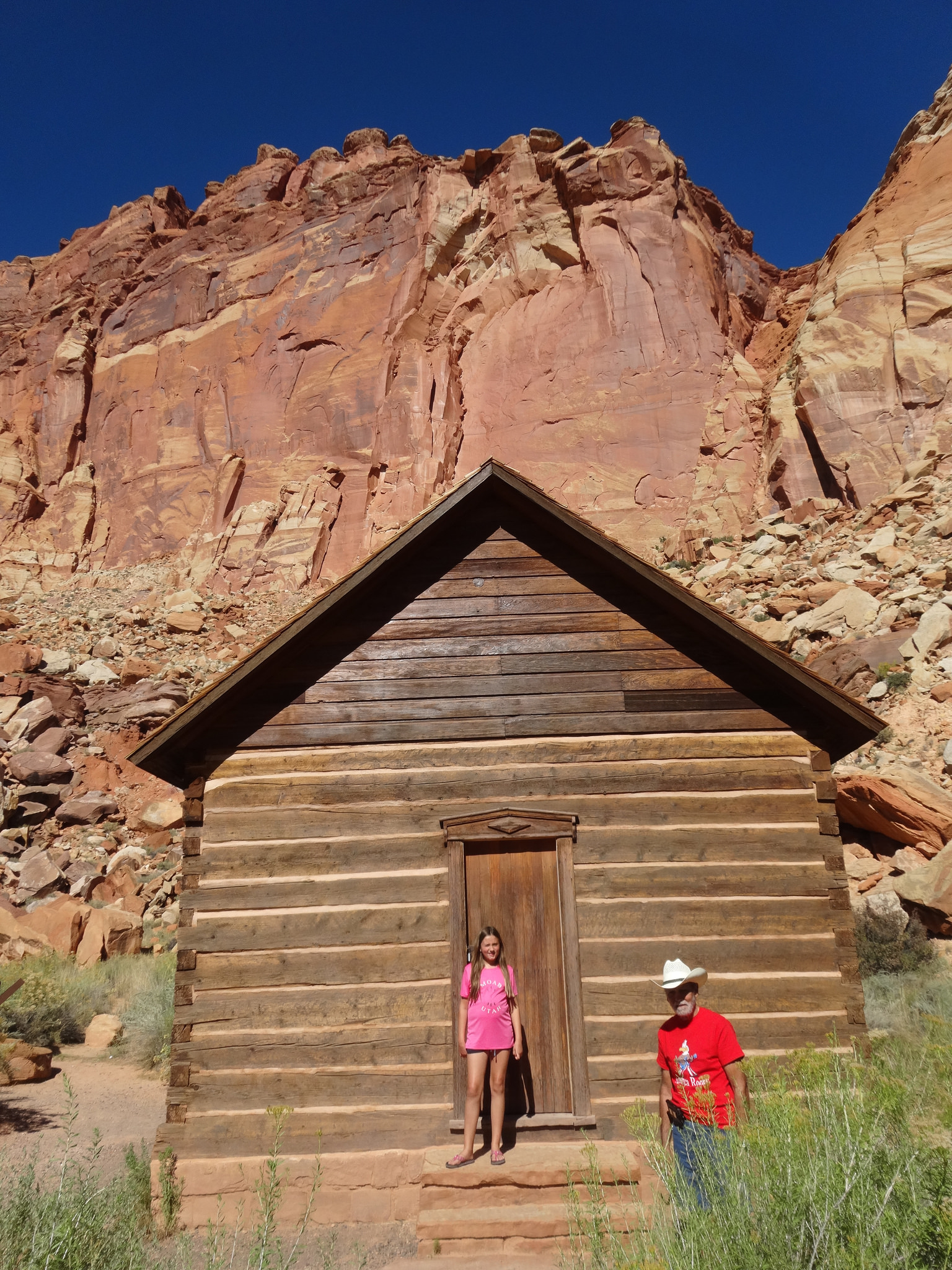
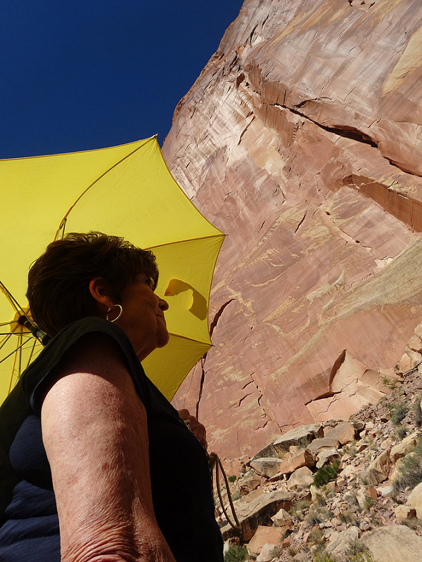
Mormons settled this region in the 1880’s, establishing a community at the confluence of the Fremont River and Sulphur Creek. They established a school and planted fruit trees in this surprisingly green and fertile region amidst the rocks. Known as Fruita, the community survived until 1955. Fruita now serves as the nerve center of the park with park rangers caring for the orchards and protecting local petroglyphs.
Fruita schoolhouse
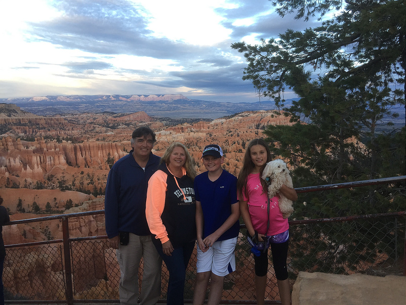
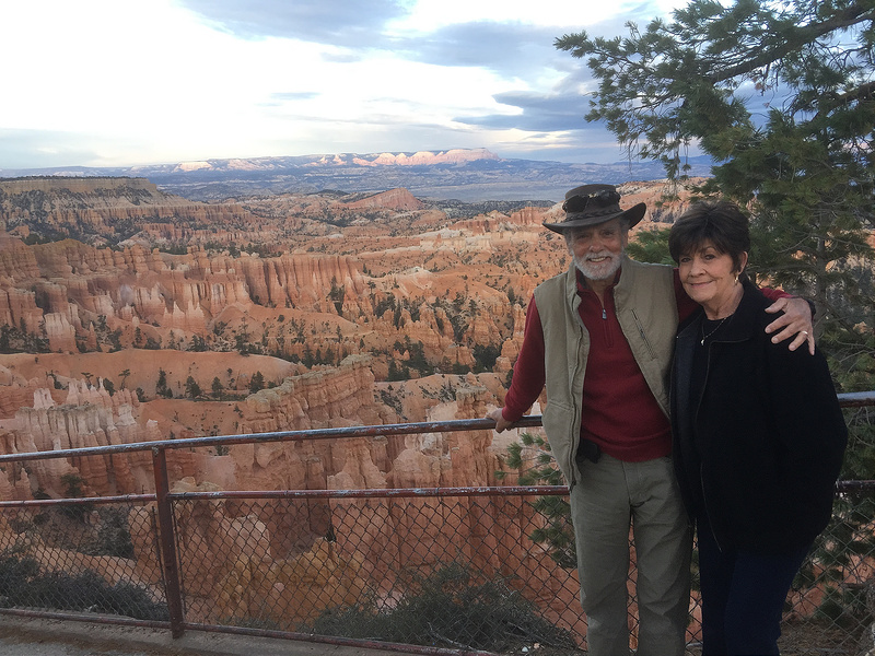
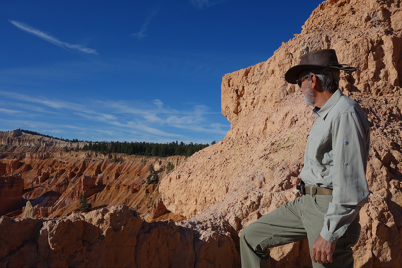
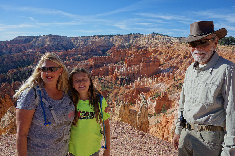
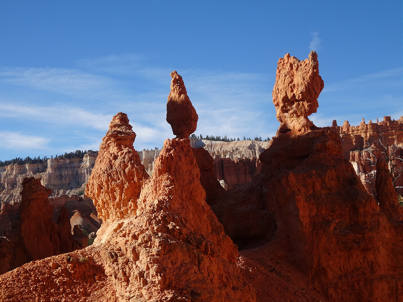
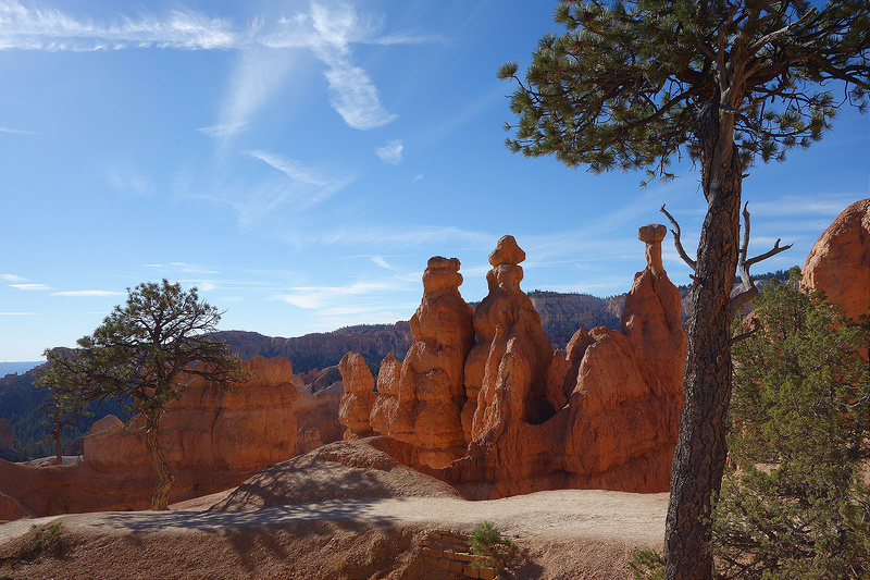
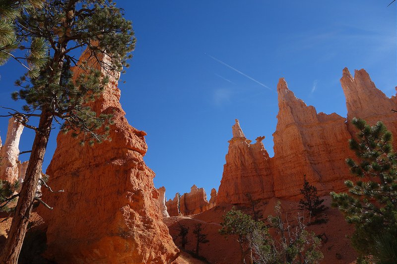
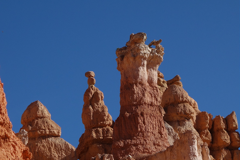
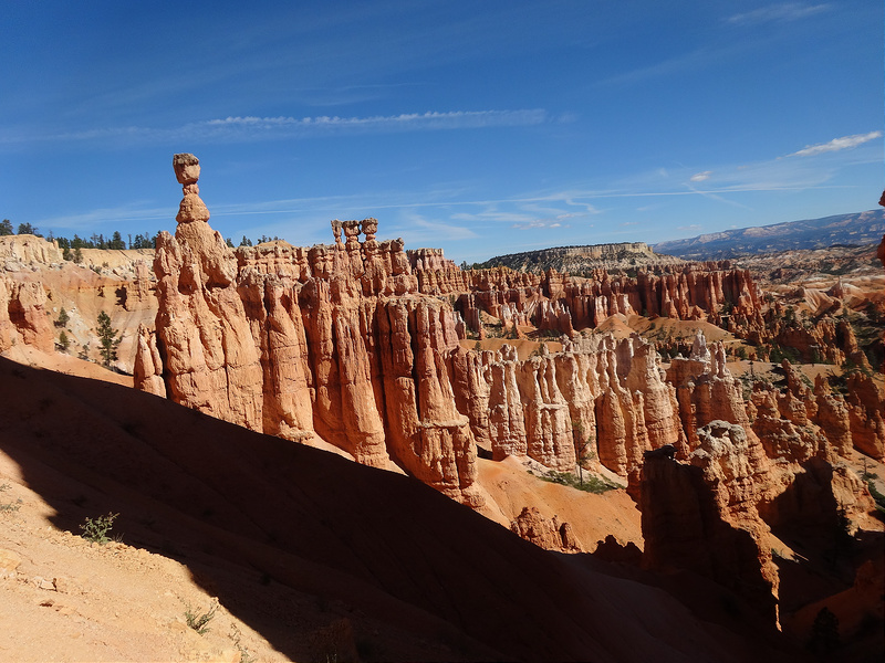
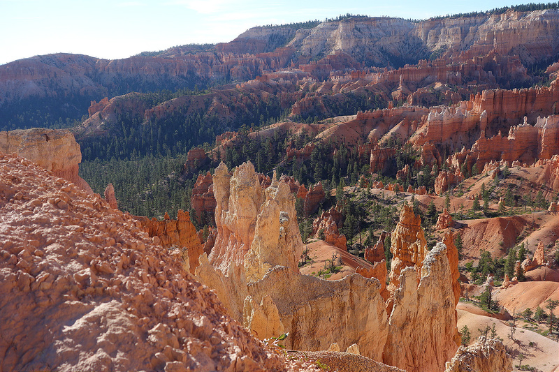
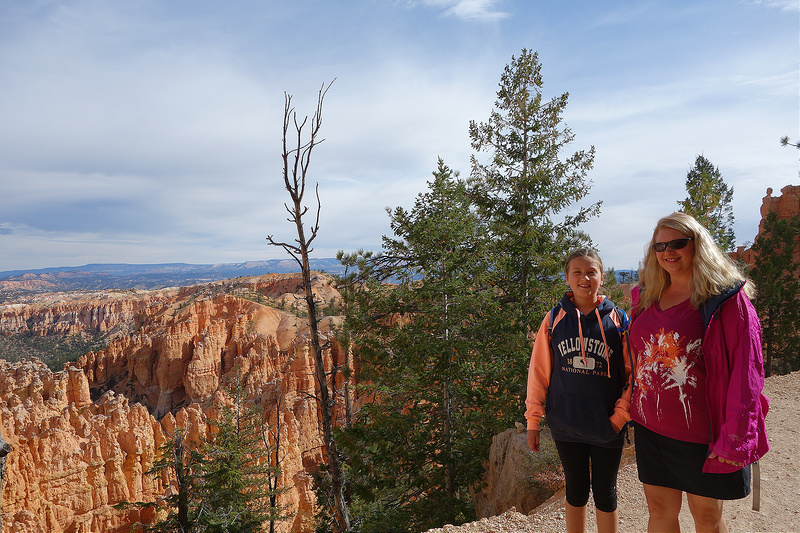
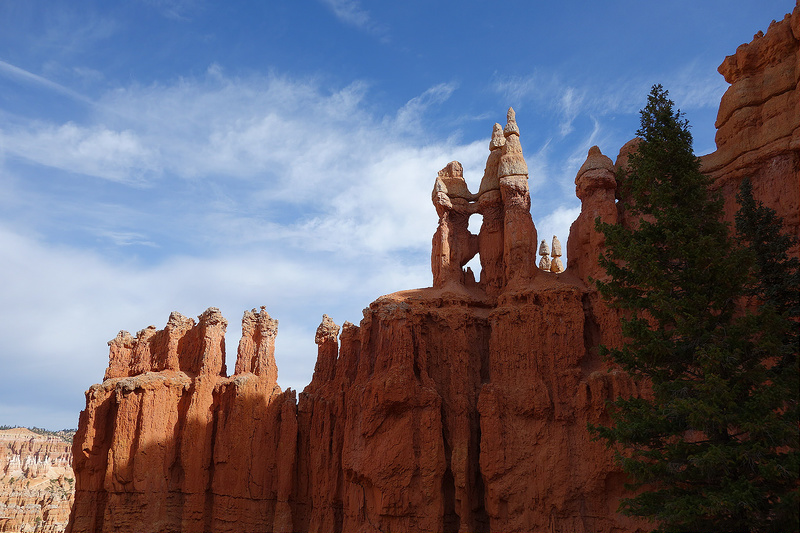
Bryce Canyon National Park lies a couple of hours southwest of Capitol Reef. Bryce is known the world over as a haven for hoodoos. Hoodoos are tall, thin, spires of rock that can take on unique shapes. Despite the name, Bryce Canyon is not technically a canyon because it does not have a river running through it. The folks at Bryce refer to the “canyon” as the Bryce Amphitheater. The Amphitheater is an eroded slope of a broad plateau. The view from the rim of the Amphitheater is spectacular.
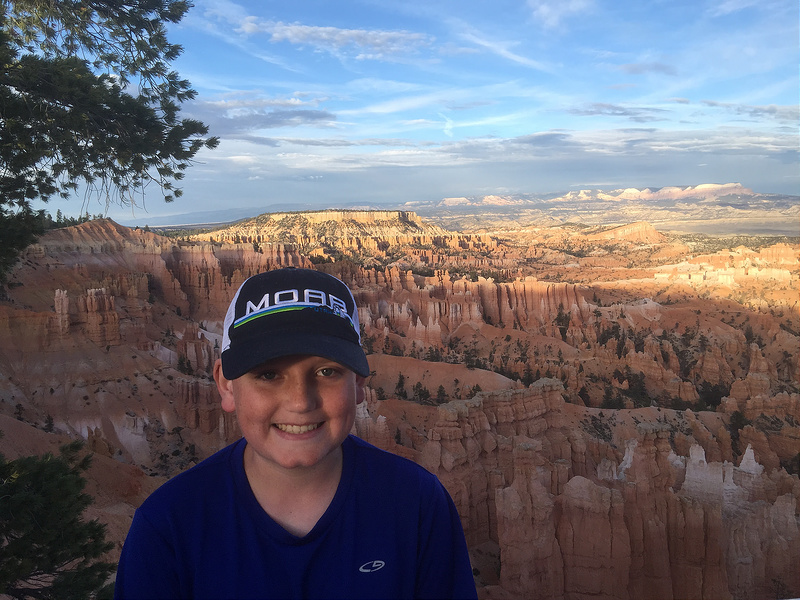
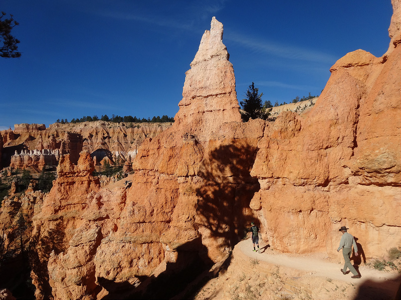
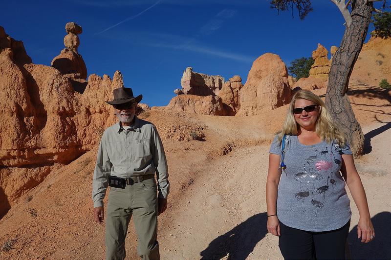
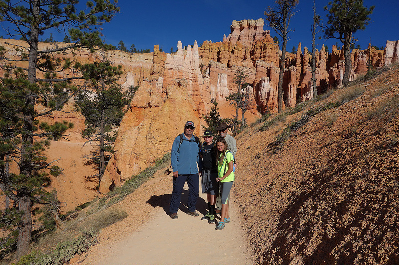
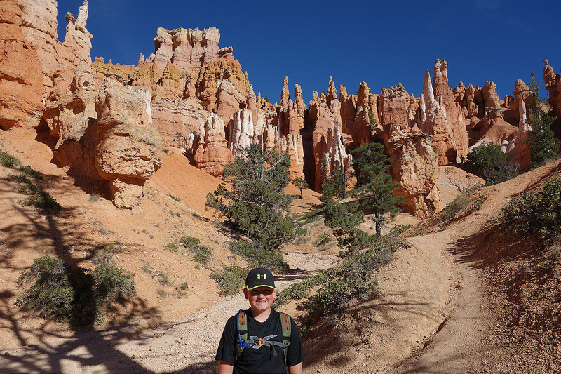
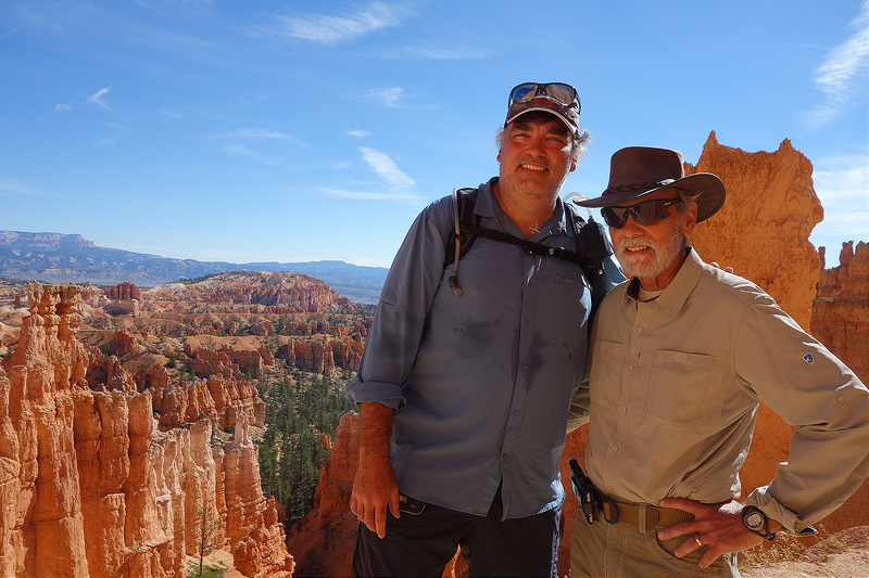
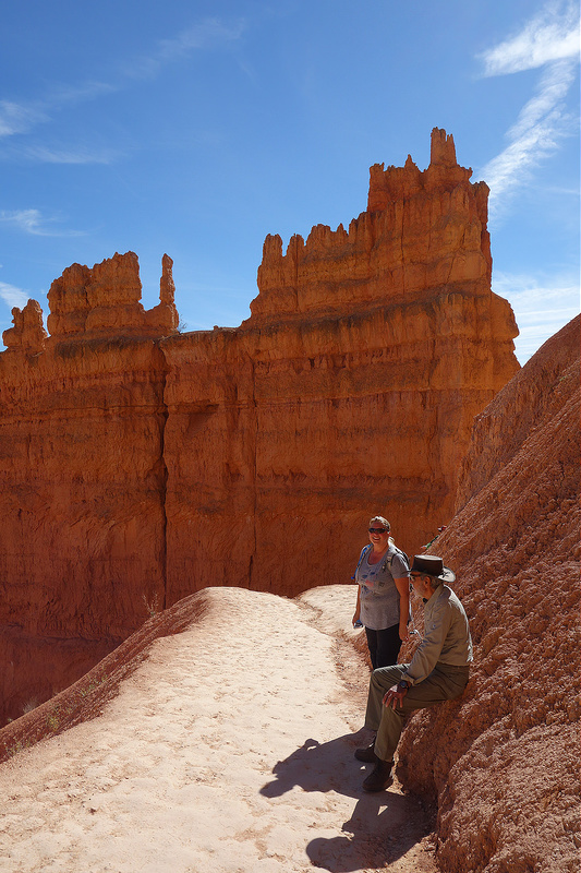
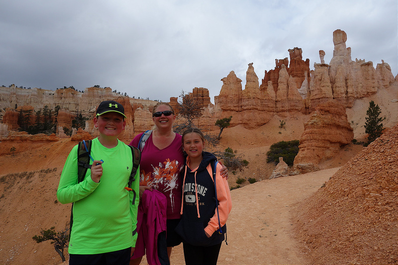
Several trails lead down into the Amphitheater. We hiked down the Queen’s Garden Trail from Sunrise Point, a broad smile plastered across our faces as we danced between the hoodoos.
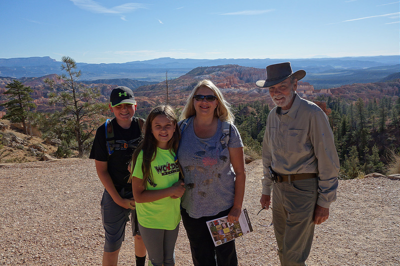
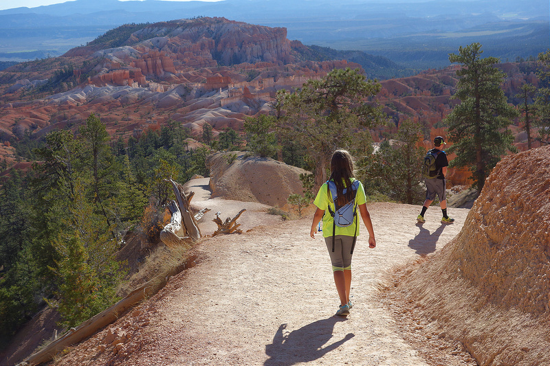
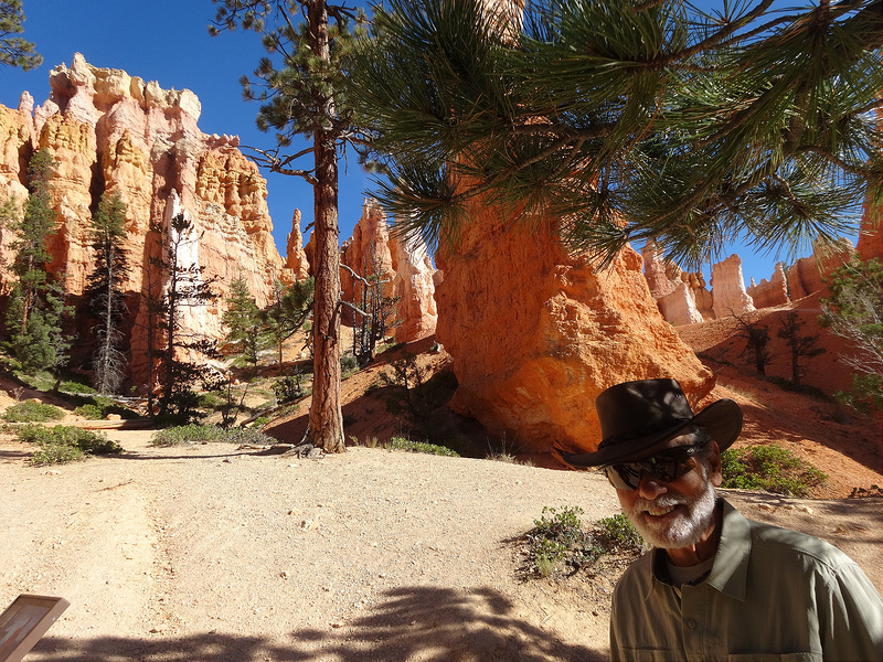
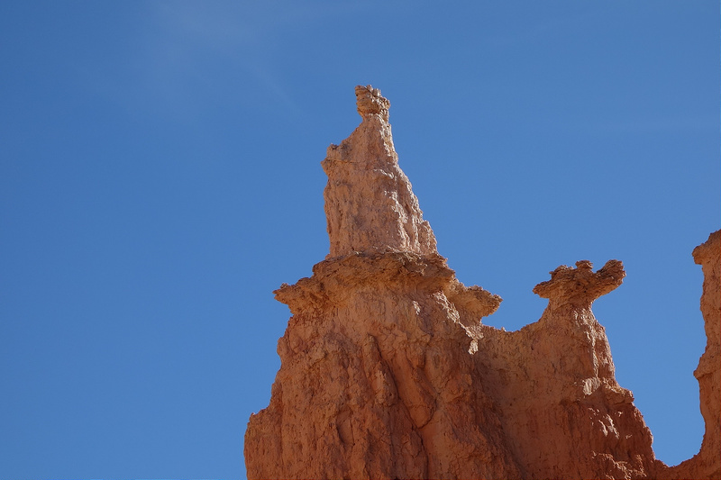
We briefly rested at the Queen Victoria hoodoo before continuing through the Amphitheater.
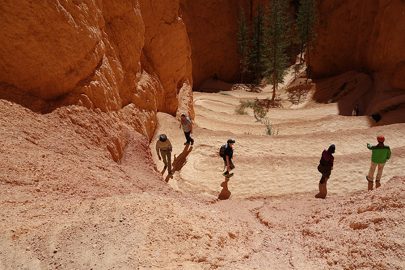
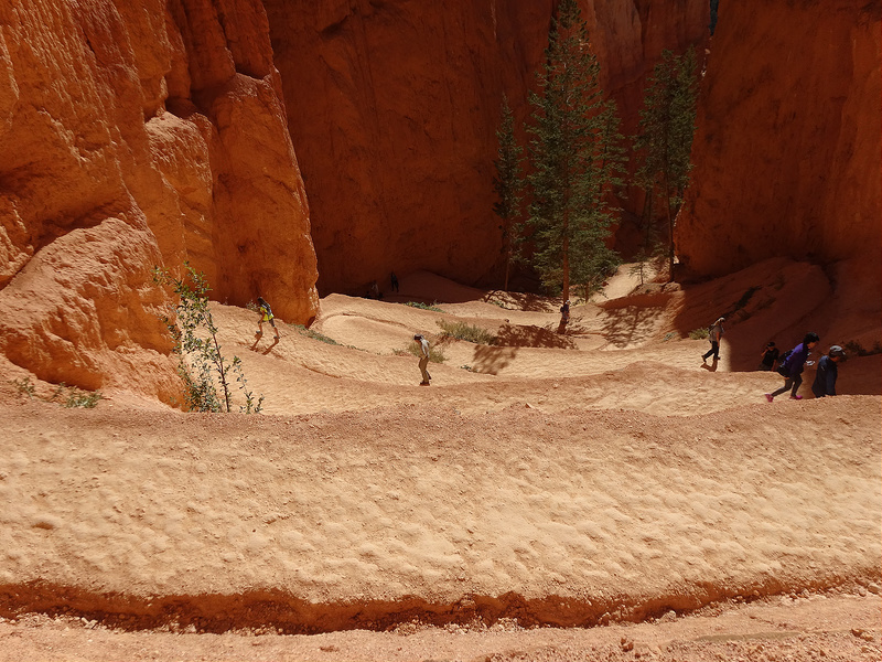
What goes down, must come up. A daunting series of switchbacks greeted us as we made our way out to the rim of the Amphitheater on the Navajo loop trail.
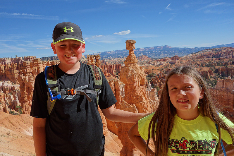
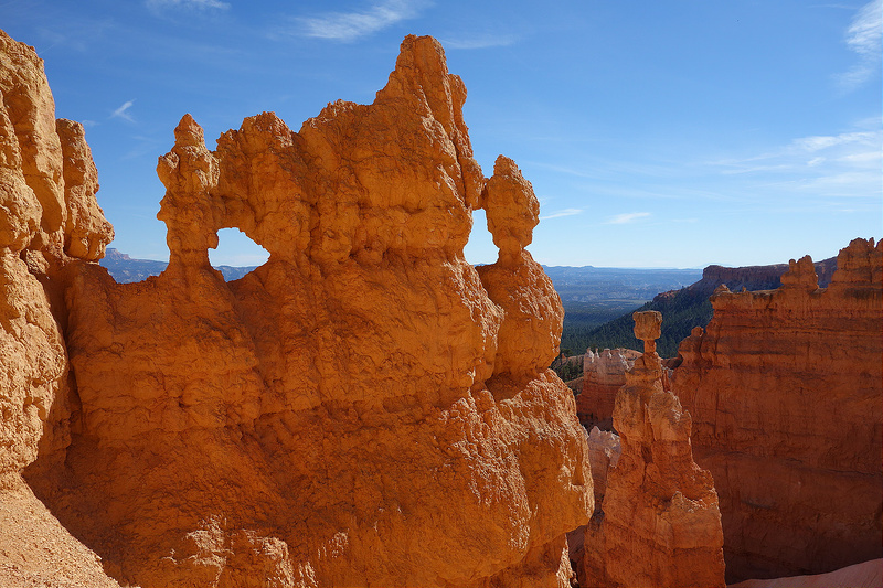
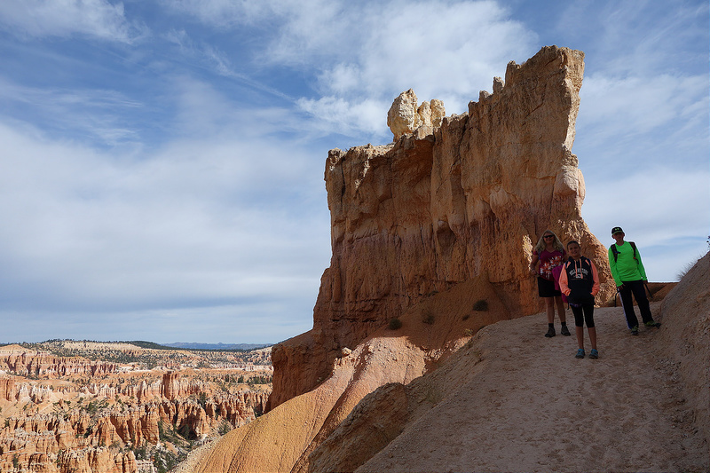
A terrific view of iconic Thor’s hammer, spires, fins, and windows provided a nice payoff for our effort.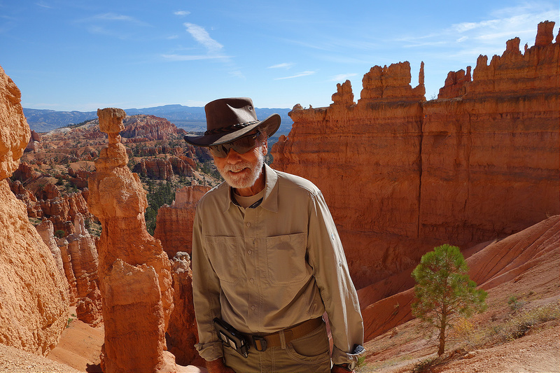
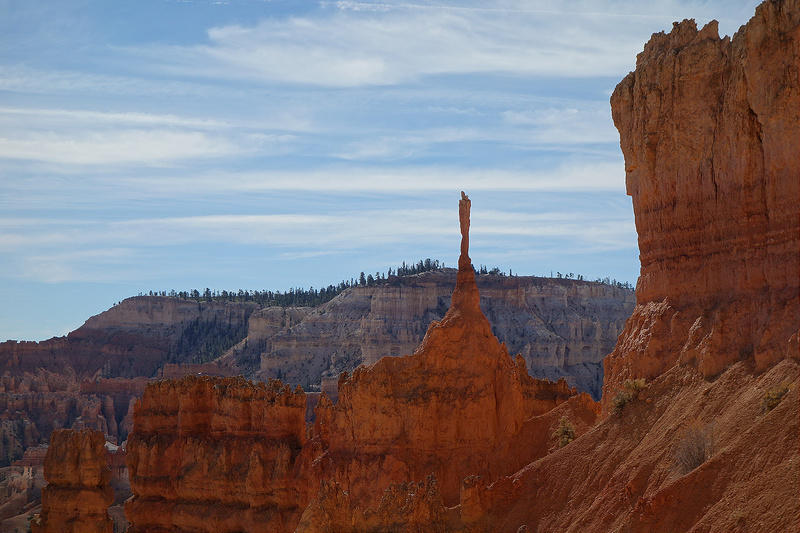
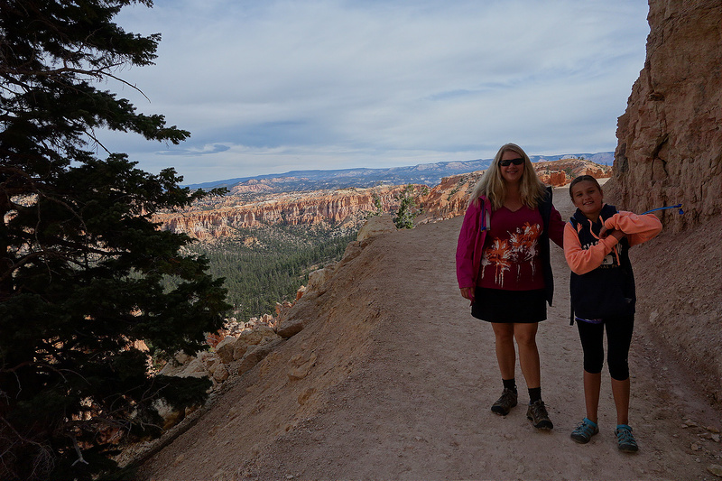
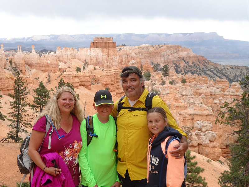
Emboldened by our improbably swift ascent of the Navajo trail, we decided to tackle the Peekaboo Loop Trail from the Bryce Point Trailhead. We knew this 5.5 mile hike with an elevation gain of over 1500 feet would prove challenging. That horses traverse a portion of the trail prompted us to rename the loop the “Peekapoo” trail. Dodging horse bombs added another dimension to our hike. The threat of rain further upped the ante.
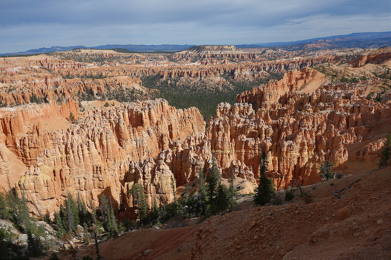
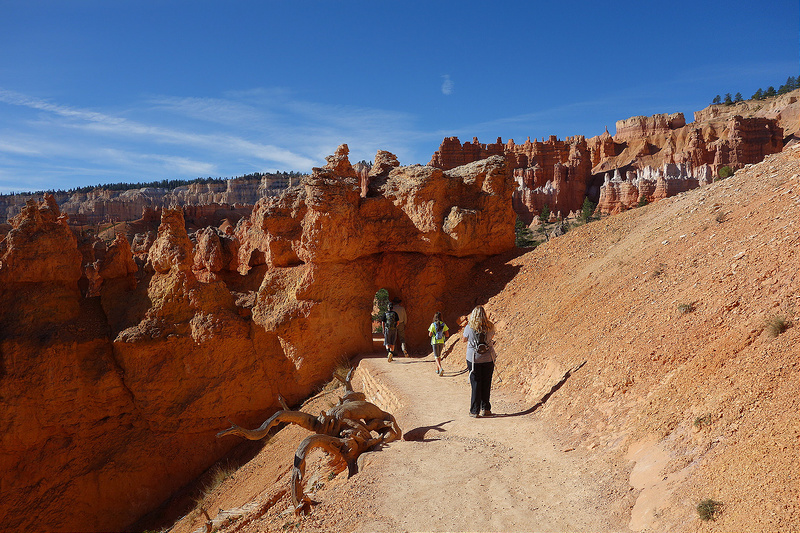
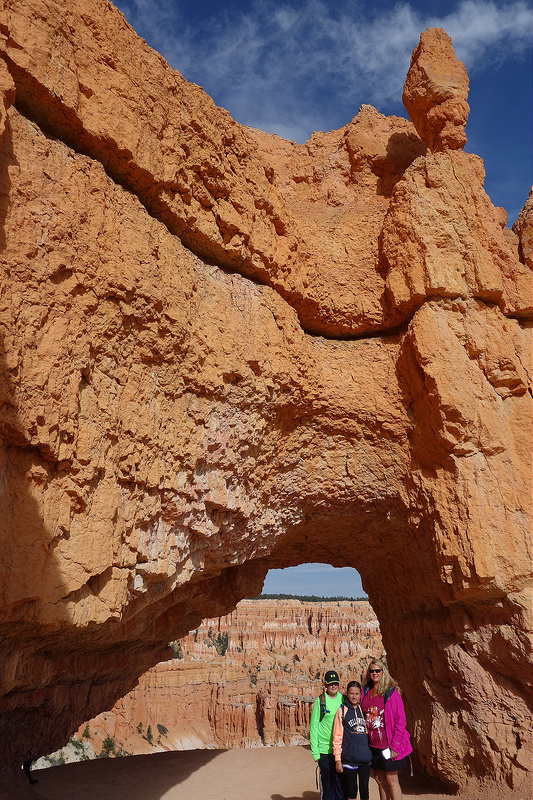
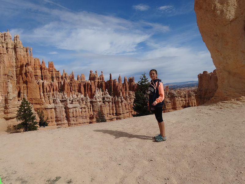
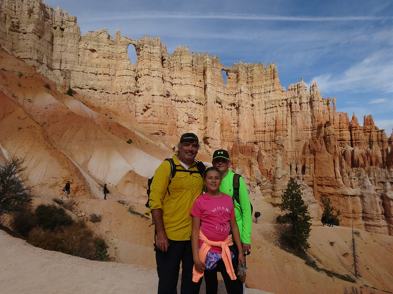
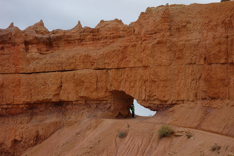
The Wall of Windows
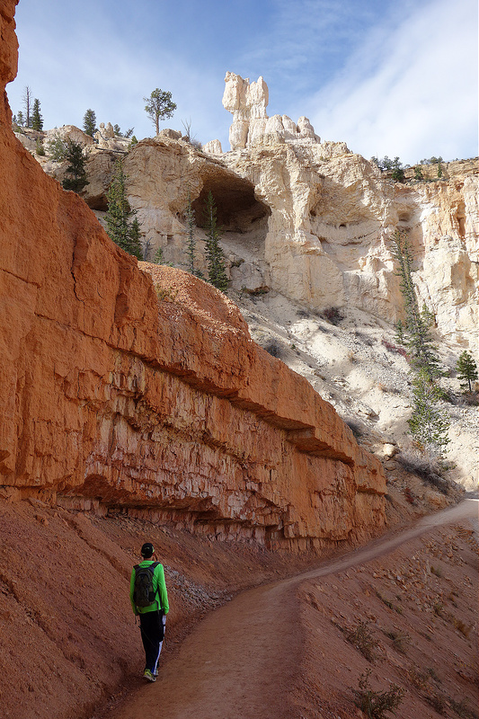
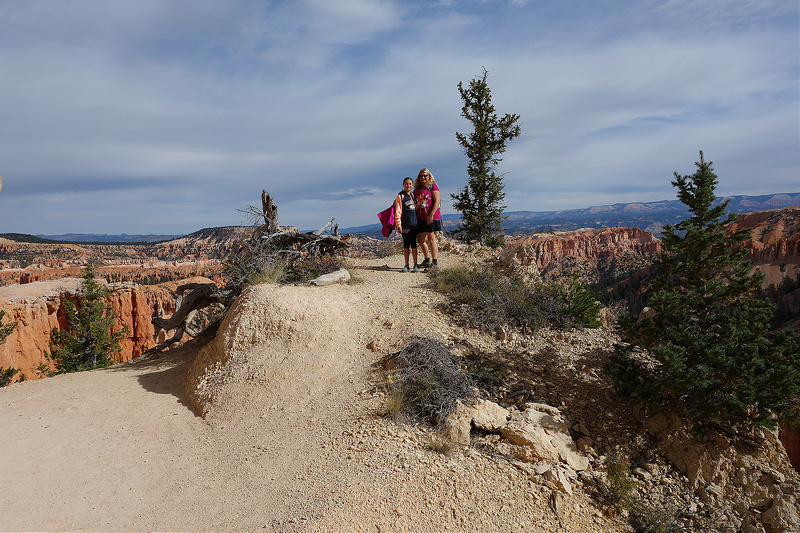
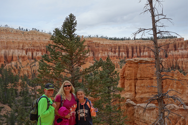
One cool twisted tree
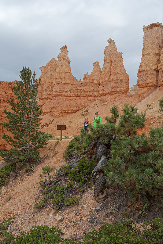
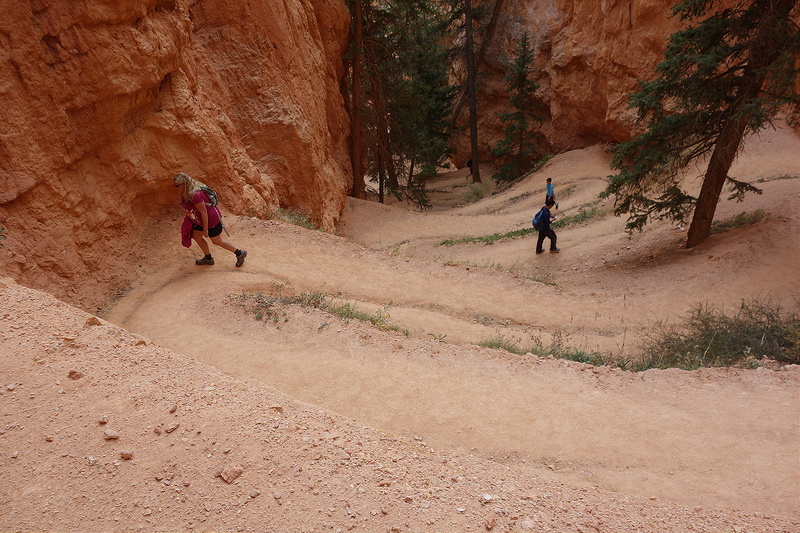 Rain pattered down as we made the climb back to Bryce Point. Though wet and exhausted, we drove home secure in the knowledge that we had conquered the best of Bryce.


Bryce Canyon looks amazing! Great entry like usual!
Thanks, Val.
Just awesome…
Wow. .love the photos.
Just imagine what they would look like if I knew what I was doing!
Wow, awesome photos! Have always liked pictures of the hoodoos, but never would have thought to see them in person. Thanks for sharing!!
Hey Charlie, thanks for reading!
Looks like something out of a fantasy novel.. I expected to see a picture of a dragon swooping over the spires. Perhaps you were dodging dragon turds!
I can always count on you for a laugh.
Best pictures yet! I think I saw at least 2 Christmas card-worthy ones. Looks like cowboy ambush country. We’d love to go there. Auburn has a trip there in May.
It really is a special place.
Just amazing! What a wonderful experience you are all having. These pictures are just wow!
Thank you!